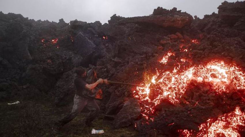
Indonesia has the largest number of active volcanoes in the world, namely 127 volcanos, and also ranks first with the number of fatalities.
This happens because the position of Indonesia between the confluence of three plates, namely the Eurasian plate, the Indo-Australian plate, and the Pacific plate.
Coordinator of the Volcano Mitigation Group, Center for Volcanology and Geological Hazard Mitigation (PVMBG), Geological Agency, Kristianto, explained that apart from the three plates, there is also a minor plate from the north, namely the plate from the Philippines.
“So the meeting of these plates makes Indonesia rich in volcanoes, and prone to geological disasters,” Kristianto told CNNIndonesia.com by telephone, Friday (9/24).
Kristianto also said that currently there are several volcanoes in Indonesia that are classified as level 3 or alert, including Mount Sinabung in North Sumatra, Mount Merapi in Central Java, and Mount Lewotolok in NTT.
Most fatalities
Kristianto also explained that the number of fatalities due to volcanic eruptions in Indonesia is the highest in the world. The one that caused the most victims was in the 1800s.
“The one that caused the most casualties was since the 1800s. There were small ones before the 1800s, but the biggest example was the Tambora eruption in 1815, there were around 92,000 fatalities,” said Kristianto.
In addition, there was also the eruption of Mount Galunggung in West Java in 1822 which resulted in 4,011 fatalities. Then the most famous was the eruption of Mount Krakatau in 1883 which claimed 36,541 lives.
“That was quite big at that time,” added Kristianto.
Based on research conducted by Nur Chasanah in the Technical Journal of the Sepuluh Nopember Institute of Technology (ITS), the 1883 eruption of Mount Krakatau caused a large tsunami that also swept almost all beaches in Lampung, Banten, to Jakarta.
Kristianto explained that since 1920 the volcano monitoring system has become more modern so that the mitigation process is increasing in order to avoid any casualties.
“Especially this mitigation system has started well since 1980 because the monitoring system is getting more modern using the Telemetry system,” he said.
Thus the geological investigation since 1920 has been intensified so that the closer the geological map of volcanoes for type A or volcanoes with a historical record of eruptions since 1600 is getting here, the better.
Currently, PVMBG records that there are 76 volcanoes that are classified as type A volcanoes, while for type B or volcanoes that have a historical record of eruptions before 1600 there are 30 volcanoes. And type C volcanoes or volcanoes that have no historical record of eruptions, but still show traces of volcanic activity, such as solfatara or fumarole, as many as 21 mountains.
“Now we have almost all maps of disaster-prone areas in type A volcanoes,” said Kristianto.
Furthermore, Kristianto hopes that people who live, or who are still living in disaster-prone areas, are aware of mountain activities in their area. The community also communicates with the PVMBG as an agency that monitors volcanic activity.
Based on information from Kristianto, currently, PVMBG is promoting mitigation activities. Before the eruption, PVMBG carried out monitoring and then gave early warnings to the community, so that people also care about their mountain activities.
“Then there is socialization to the community, especially to people who are in disaster-prone areas,” concluded Kristianto.


